Chinese
 Spanish
 Russian
 Portuguese
 French
 German
 Indonesian
 Thai
 Vietnamese
 Arabic
 Italian
 Turkish
 Polish
 Japanese

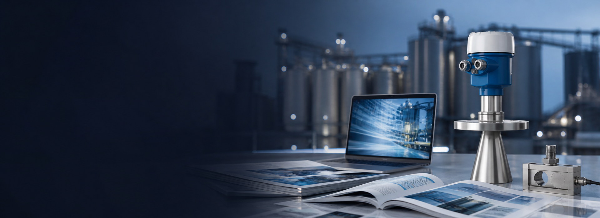
METRAVON Millimeter-Wave Radar Water Level Sensors: FMCW Principle, 80GHz Features and Hydrological Applications
A millimeter-wave radar water level sensor is a non-contact distance instrument installed above the water surface. It measures the distance from the radar reference point to the water and then converts that distance into level or elevation using a defined engineering datum.
For a water-level station, FMCW describes how distance is estimated, not the uncertainty of the final stage record. The water echo, surveyed antenna reference, conversion to elevation and transmitted value all need verification. A compact narrow-beam antenna can help avoid structures, but its actual pattern and the site geometry determine the useful target area.
Radar Directly Measures Distance
The radar first measures distance D from its reference plane to the water surface.
To convert that distance into a true water level, the system must also know the relationship between the mounting point and the project water-level datum.
A radar can therefore measure distance correctly while the final displayed water level is still wrong if the installation elevation or reference configuration is incorrect.
How Does FMCW Determine Water-Surface Distance?
An FMCW radar continuously transmits chirp signals whose frequency changes with time.
The echo reflected from the water surface arrives with a delay. This creates a beat frequency between the delayed echo and the current transmitted signal.
For an ideal linear chirp and a stationary target, the simplified relation is D = c * f_b / (2 * S), where D is distance, c is propagation speed, f_b is beat frequency and S is chirp slope. This explains the ranging principle; it is not a calibration procedure or a statement of the bandwidth used in a particular METRAVON model.
Signal processing can separate returns at different ranges when the echoes and system resolution permit it. The station still has to identify the water return among fixed structures and changing targets. Confirm the diagnostic access of the selected version rather than assuming a serial level value includes the full spectrum or echo curve.
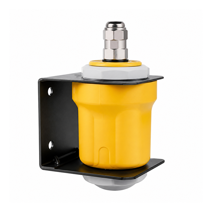
Why Is 80 GHz Useful for Bridge and River Monitoring?
An approximately 80 GHz radar can generate a narrow beam using a relatively compact antenna.
Typical hydrological sites may contain:
- Bridge piers;
- Structural beams;
- Riverbanks;
- Exposed riverbed;
- Gates;
- Vegetation and floating debris.
A narrower beam reduces the likelihood that these objects enter the primary measuring area.
Why Is a Higher Mounting Position Not Always Better?
A radar beam has a defined angular spread. As the distance to the water surface increases, the footprint at the water surface normally becomes larger.
For a high bridge-mounted sensor, low-water conditions may therefore introduce new targets such as riverbanks, shallow areas or exposed riverbed.
Use the project design high and low water levels, informed by historical observations, for the measuring envelope. A survey at normal water level does not prove low-water bank clearance or high-water near-distance clearance. Retain the antenna orientation and surveyed elevation with the station configuration.
Does “Millimeter-Wave” Mean 1 mm Accuracy?
Millimeter wave describes the electromagnetic wavelength range. It does not directly specify the instrument's measurement error.
Final performance depends on effective bandwidth, signal processing, antenna design, signal-to-noise ratio, calibration and the installation environment.
Accuracy should therefore be confirmed from the datasheet of the actual radar model.
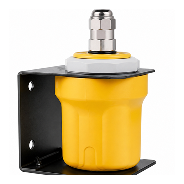
Does Water-Surface Motion Affect Radar?
Surface motion changes the reflecting target. The acceptable response depends on what the station is required to record; filtering may reduce short fluctuations but adds delay and cannot establish that the correct target was selected. Avoid waterfalls, severe splashing and persistent recirculation when choosing a representative measurement point.
Hydrological monitoring stations should therefore be installed over a representative and reasonably stable section of the water surface whenever possible.
How Should Humidity, Mist and Condensation Be Understood?
Radar does not depend on the speed of sound, so normal humidity and air-temperature changes are usually not the main sources of ranging error.
However, water films, icing and heavy condensation directly on the antenna can alter the near-field electromagnetic environment.
Check the antenna face for films, icing and deposits under the site safe-access procedure. A weather-resistant enclosure or a normal humidity rating does not prove that a wet or submerged antenna will continue to provide a valid surface distance.
Does Sediment Under the Water Affect Radar?
Radar normally measures the water surface rather than transmitting through the water to measure the riverbed, so submerged sediment does not directly coat the radar sensor.
Large floating debris, aquatic vegetation, ice or floating scum can still generate additional reflections if they enter the main beam.
Verify the measurement chain, not only the frequency
| Check | Evidence to retain |
|---|---|
| Raw distance | Instrument reference plane, units and independent comparison |
| Derived stage | Surveyed reference elevation and conversion sign |
| Target geometry | Section drawing at design high and low water |
| Local validity | Device status and behavior when a valid echo is unavailable |
| Received record | Measurement time, logger scaling and stale-data handling |
Assign sensing and telemetry separately
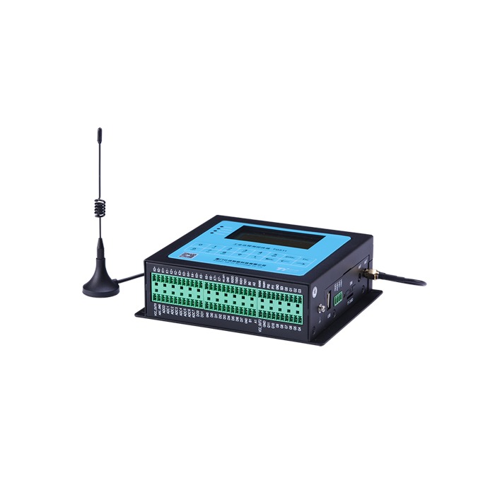
MV-RD12T supplies the selected distance or level output; TG511 is an acquisition RTU, not the radar ranging engine. Confirm the ordered electrical versions, sensor protocol, input scaling, measurement timing and required data handling. Cellular or server communication belongs to the documented station configuration, not to the FMCW label.
For the broader range, power and mounting decision, use the station selection guide. Radar water-level sensor selection
FMCW water-level verification questions
Q1. Can FMCW processing remove the need for a surveyed datum?
No. The ranging method estimates antenna-to-target distance, while the station datum defines the elevation reported to the user. Keep both records and verify the conversion through the logger. If the support moves, recheck its surveyed reference before applying a correction; a good frequency estimate cannot repair a wrong mounting elevation.
Q2. Does a stable radar reading establish a stable river level?
Not by itself. Check whether the selected target is water, a fixed structure or a retained last value, then compare a synchronized independent observation. The record also needs a measurement timestamp and validity status. A smooth curve can result from damping or held data, so test response and invalid-reading handling as well as numerical agreement.
Q3. What evidence is needed before accepting remote water-level data?
Compare the reference observation, local distance, derived stage and received logger value at the same time. Retain units, reference elevation, configuration and process conditions. Test communication loss and restoration under the station procedure, including how late or invalid records are identified. Record which seasonal levels or surface states remain untested.
Retain a traceable stage record
A useful FMCW water-level record links the selected water echo to a documented reference and a valid, timestamped host value. Resolve an inconsistency at the point where it appears: raw distance, elevation conversion or transmission. Adjusting the final displayed offset without that comparison can hide the original cause.
Keep installation changes and configuration changes traceable. Recheck the reference after bracket movement or replacement, and retain observations from relevant surface and seasonal states. Record unavailable or suspect data explicitly rather than presenting a retained value as a fresh measurement.
Send the station section, design water-level envelope and surveyed reference, plus synchronized local and host readings if a discrepancy already exists. Specify the ordered sensor output, logger input, reporting interval and invalid-data requirements so the review covers the whole measurement chain. Request an FMCW water-level signal-chain review