Chinese
 Spanish
 Russian
 Portuguese
 French
 German
 Indonesian
 Thai
 Vietnamese
 Arabic
 Italian
 Turkish
 Polish
 Japanese

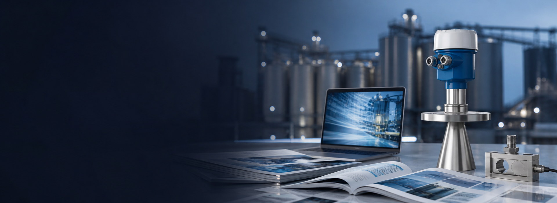
METRAVON Radar Water Level Sensor: Working Principle, Advantages and Selection Guide
Radar water level sensors measure the distance from a top-mounted instrument to the water surface using electromagnetic waves. Because the sensor does not need to remain submerged, radar is widely used on rivers, reservoirs, open channels, flood-monitoring stations, wastewater structures and industrial water tanks.
Selection should not be based on range and accuracy alone. Mounting height, historical high and low water levels, beam width, surrounding structures, power supply and communication architecture all influence the final result.
1. How Does a Radar Water Level Sensor Work?
The radar transmits an electromagnetic signal toward the water surface and receives the reflected energy. Depending on the design, the instrument may use pulse time-of-flight or FMCW signal processing to calculate distance.
Because radar uses electromagnetic waves, it does not depend on the speed of sound in air. This is one reason radar can be more stable than ultrasonic measurement when gas temperature or composition changes significantly.
2. Does the Sensor Measure Level or Distance?
The primary measurement is distance from the radar reference plane to the water surface. The monitoring system then converts that distance into level, elevation, water depth or percentage using the site datum.
A wrong reference elevation can therefore create a fixed level error even when the radar distance itself is correct.
3. Main Advantages of Radar Water Level Measurement
No submerged probe is exposed directly to sediment, debris or long-term immersion.
Air-temperature changes do not affect radar distance in the same way they affect ultrasonic sound velocity.
Radar can be integrated with RTUs, loggers, cellular telemetry and other monitoring systems.
There are no floats, pulleys or moving measuring mechanisms.
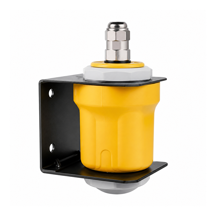
4. Why Is 80GHz Useful on Bridges and Narrow Waterways?
Many 80GHz radars can produce a narrow beam with a compact antenna. This is useful where bridge piers, banks, beams, railings or other structures are close to the intended measuring point.
The practical advantage is beam control and target separation. Higher frequency does not automatically mean better accuracy in every application.
5. Is Radar Completely Unaffected by Temperature?
No. Gas-temperature changes are usually not a major distance error source, but extreme temperature can still affect electronics, enclosure materials, seals, condensation and icing. Always check the environmental temperature rating of the selected model.
6. What Can Still Disturb Radar Water Level Measurement?
| Condition | Possible Effect |
|---|---|
| Bank enters the beam | Fixed unwanted echo |
| Exposed riverbed at low water | Additional competing target |
| Bridge pier or beam | Strong fixed reflection |
| Large floating debris | Temporary abnormal echo |
| Heavy spray or waterfall | Unstable surface echo |
| Ice or severe condensation | Changed near-field echo environment |
7. Is a Longer Maximum Range Always Better?
No. The useful selection inputs are the sensor-to-water distance at historical minimum level and the clearance at historical maximum level. A 70m or 100m model is not automatically better for a 12m site.
8. What Is Minimum Measuring Distance?
Every radar has a near-field region, often described as a minimum measuring distance or blocking distance. The maximum flood level must remain outside this region if reliable measurement is required at that condition.
9. Why Is Historical Low Water Important?
As the water surface moves farther away, the beam footprint becomes larger. At seasonal low water, exposed riverbed, banks or shallow shelves may enter the beam even if the installation works perfectly during normal water level.
10. What Site Information Should Be Provided?
| Item | Information |
|---|---|
| Application | River, reservoir, channel, tank or flood station |
| Mounting height | Reference point to typical water surface |
| Maximum water level | Used to verify minimum measuring distance |
| Minimum water level | Used to verify range and beam footprint |
| Nearby structures | Piers, beams, banks, railings and supports |
| Power and communication | Mains, solar, 4–20mA, RS485/Modbus, SDI-12 or logger interface |
11. Solar-Powered Stations Need a System-Level Power Budget
Do not size the solar panel and battery from radar power alone. Include the RTU or logger, cellular or LoRaWAN modem, sampling interval, heater if any, and expected autonomy without sunlight.
12. Output and Communication Selection
Depending on the model and system architecture, common interfaces include 4–20mA, RS485/Modbus RTU, SDI-12 and other digital outputs. Confirm protocol details, register maps, power requirements and cable length before purchase.
13. Outdoor Protection and Surge Protection
Bridge and remote hydrology stations are exposed to rain, humidity, UV and lightning. Check enclosure rating, cable glands, corrosion protection, condensation control and whether the complete station requires power and signal SPDs, grounding and equipotential bonding.
An IP rating describes enclosure protection. It does not by itself guarantee operation under prolonged flood submersion unless the specific product is rated for that condition.
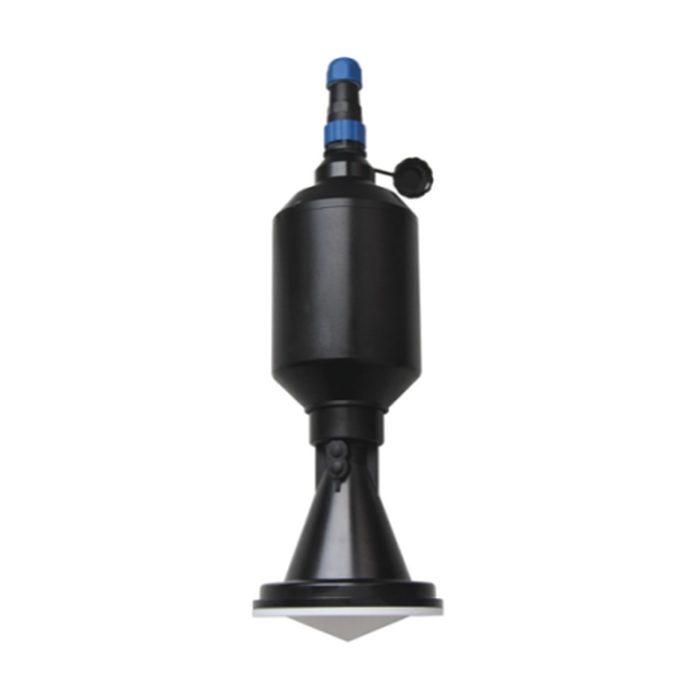
14. Radar vs Submersible Hydrostatic Level Sensor
| Comparison | Radar | Submersible Hydrostatic |
|---|---|---|
| Contact with water | Non-contact | Submerged |
| Sediment | Does not bury the sensor | Probe must be kept clear of sediment |
| Density effect | Not a direct measuring variable | Directly affects level conversion |
| Deep wells | Limited by well geometry | Often very suitable |
| Bridge river monitoring | Often advantageous | Requires underwater probe and cable |
15. Radar vs Ultrasonic Water Level Measurement
Ultrasonic sensors can be economical for short-range, open applications with stable air conditions. Radar becomes especially attractive where temperature varies widely, the measuring distance is longer, the site has structural interference, or vapor and gas conditions are less predictable.
16. What to Check When Comparing Suppliers
- Clear range, minimum-distance and beam-angle data;
- Suitable outdoor and environmental ratings;
- Installation guidance based on actual site geometry;
- Protocol documentation and wiring information;
- Ability to review echo curves and diagnose field problems.
17. Do Not Compare Accuracy Alone
Long-term field data quality depends on more than laboratory distance accuracy. The beam must avoid banks and bridge structures, the instrument must remain within its valid range at both flood and low water, and the power, communication and surge-protection system must support unattended operation.
18. Selection Checklist
- Maximum distance covers historical low water;
- Minimum distance covers historical flood level;
- Beam footprint stays on representative water where possible;
- Power supply matches the monitoring station;
- Communication is compatible with the RTU or logger;
- Outdoor protection and surge protection are addressed;
- Installation and commissioning support are available.
19. Selection Summary
Radar water level measurement is most successful when the instrument is selected around the full site geometry and seasonal water-level range. Mounting height, beam footprint, minimum distance and integration requirements are usually more important than choosing the longest range or the smallest accuracy number on the datasheet.