Chinese
 Spanish
 Russian
 Portuguese
 French
 German
 Indonesian
 Thai
 Vietnamese
 Arabic
 Italian
 Turkish
 Polish
 Japanese

Radar Water Level Meters
Selecting Hints
Compare METRAVON radar water level meters for rivers, channels and drainage sites. Check mounting height, exposure, data output and reference datum before inquiry.
Match the radar to the mounting site
A water-level radar measures the gap to a surface. A river stage or drainage depth also needs a documented reference elevation, mounting position and data timestamp.
High bridge or long measuring distance
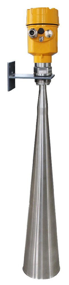
MV-RD909 has a listed maximum distance of 70 m. Confirm the distance to low water from the actual radar reference, then check that flood water remains outside the near limit. River depth alone is not the distance the instrument must measure.
Exposed or confined sites
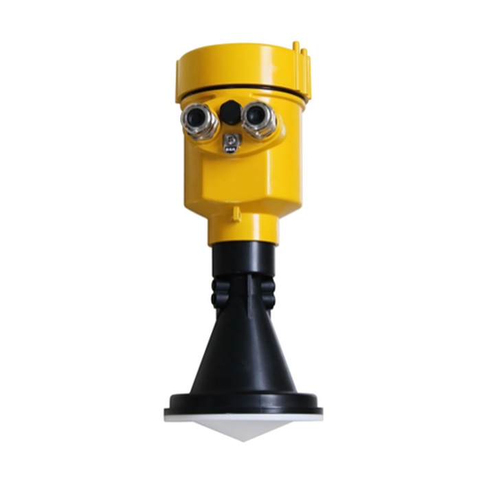
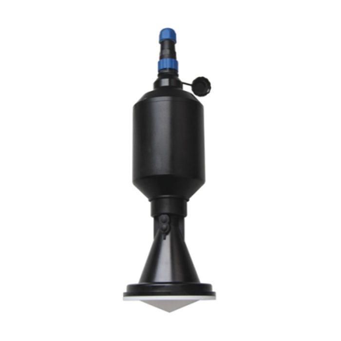
MV-RD908S is a corrosion-resistant route for river and channel sites; verify spray, vapour and cleaning exposure against the ordered materials. MV-RD908F provides an IP68-rated sealed housing for drainage or manhole locations. That rating does not remove the need for a clear beam path, suitable cable sealing or a flood-safe mounting position.
For an inquiry, provide a site section, benchmark, high- and low-water elevations, bridge or chamber geometry, power and RTU or logger input. Acceptance should compare radar distance, calculated water level and transmitted value at a known reference, then test lost-signal behavior separately from a genuine stable level.
Please fill in the measurement media, the scale, temperature, pressure, installation and output requirements. We will provide model advice and quotations based on the field situation.