Chinese
 Spanish
 Russian
 Portuguese
 French
 German
 Indonesian
 Thai
 Vietnamese
 Arabic
 Italian
 Turkish
 Polish
 Japanese

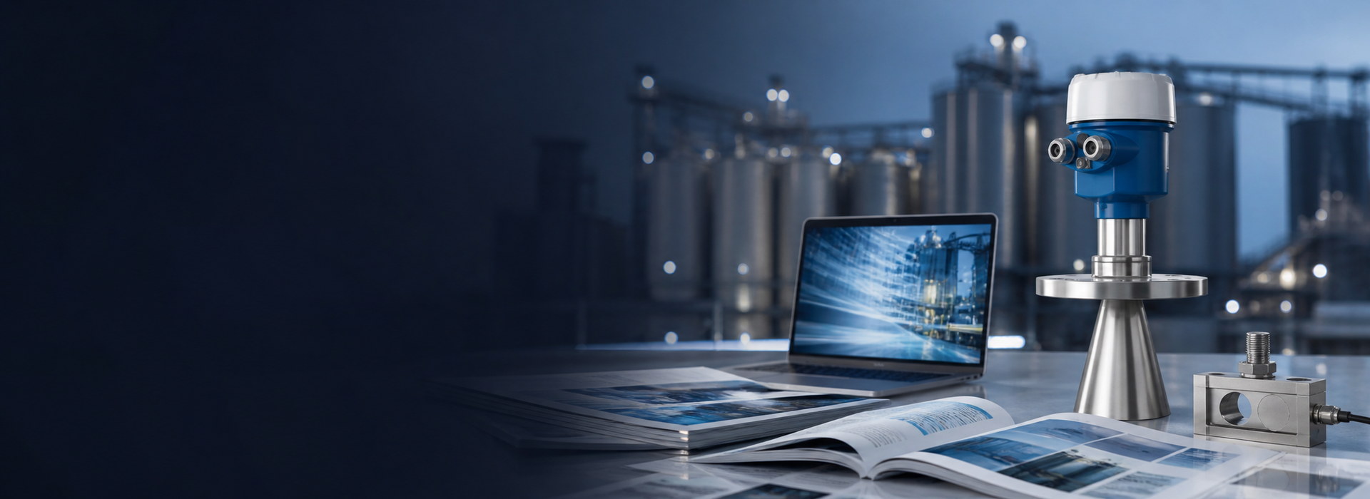
Camera-Based Level Detection vs Radar: What Each Can See
Radar measures a selected reflecting boundary; a calibrated camera system can derive level or geometry and also record scene context. Compare the required variable, uncertainty, visibility, response and diagnostics. Cameras are not limited to context-only indication, and a radar is not immune to deposits or incorrect target selection.
Three different things called camera level detection
The phrase covers technologies with very different accuracy and very different failure modes, and comparing them as one category is where most specifications go wrong.
Calibrated 2D imaging. A fixed camera can observe a staff gauge or defined geometry and identify a boundary. Performance depends on calibration, viewpoint, lens and image quality; a universal 10-30 mm accuracy does not follow from the method.
Image segmentation. A model may identify a surface, foam or boundary, but metric level still needs a suitable reference or calibrated geometry. Validate performance, quality flags and behaviour outside the training conditions rather than assuming a general accuracy ranking.
Depth imaging. Stereo, structured-light and time-of-flight arrangements estimate geometry through different methods. Range, illumination, surface texture and uncertainty depend on the selected system and installation.
| Method | Evidence needed |
|---|---|
| Calibrated 2D imaging | Scale, viewpoint, lens calibration and boundary validation |
| Segmentation-based imaging | Metric reference, representative conditions and out-of-distribution handling |
| Depth imaging | Model-specific range, target and geometry performance |
| Radar surface measurement | Reference, target tracking and process signal performance |
| Guided-wave arrangement | Probe, layer and process compatibility |
The pixel arithmetic
A pixel-footprint calculation is one geometric input, not a complete accuracy statement. The table assumes a 1920-pixel horizontal image, a 60-degree horizontal field of view and a plane normal to the viewing axis. Its three-pixel column is a scale illustration, not measurement uncertainty.
| Assumed distance | Width covered | Approximate horizontal scale | Three-pixel distance |
|---|---|---|---|
| 5 m | 5.77 m | 3.0 mm/pixel | 9.0 mm |
| 10 m | 11.55 m | 6.0 mm/pixel | 18.0 mm |
| 20 m | 23.09 m | 12.0 mm/pixel | 36.1 mm |
| 50 m | 57.74 m | 30.1 mm/pixel | 90.2 mm |
The conversion to vertical level also depends on viewpoint, perspective, lens distortion, calibration and boundary detection. There is no universal ten-metre placement limit or fixed uncertainty derived from the horizontal pixel count alone.
Radar performance must likewise come from the selected model and installed measurement evidence. Neither a fixed plus-or-minus-three-millimetre claim at 20 m nor pixel scale alone establishes which system meets the application.
What a camera can do that a radar cannot
This is the part that matters, because it is where camera systems are genuinely useful and where they will keep being installed.
- Cover an area. A suitable camera can observe multiple regions, while ordinary single-point radar reports a selected local target. Scanning and multiple-point radar arrangements also exist.
- Surface context. Images can help interpret visible foam, debris or colour, subject to view and lighting. Radar diagnostics can also support interpretation but do not automatically identify material composition.
- Give a visual record. Retain time, quality and provenance for images and numeric trends. Either can provide investigation evidence; neither is automatically valid simply because it is a picture or a current value.
- Detect events. Cameras and other sensors can support screen, debris or flow observations where validated. Do not infer pump protection or reverse-flow performance from the image principle alone.
- Cover multiple points with one device. A single camera on a channel can report level at the flume, the screen and the outfall, if the geometry allows.
- Install without process connection. No nozzle, no penetration, no wetted part. On a lined channel or a heritage structure, that can be decisive.
What defeats a camera
The failure modes are optical, and they are not subtle.
| Condition | Camera assessment | Radar assessment |
|---|---|---|
| Mist, spray or deposits | Visibility and image-quality diagnostics | Actual signal path and antenna condition |
| Lighting and glare | Model limits, illumination and calibration | Not dependent on scene lighting |
| Foam or debris | Defined boundary and occlusion | Defined reflecting boundary |
| Mount movement | Calibration and viewpoint integrity | Reference and alignment integrity |
| Vibration | Blur, registration and support | Alignment, mechanical integrity and signal response |
| Loss of valid data | Fault and stale-value recognition | Fault and stale-value recognition |
Two of these deserve emphasis because they are the reasons camera projects fail after the pilot.
Misalignment. Movement can invalidate a camera calibration or change a radar reference and target. Define detection and inspection for the actual mounting and measurement chain.
Lens fouling. Set cleaning and quality thresholds from actual exposure and the approved arrangement. A wiper, purge or coating is not a universal requirement or guarantee of a valid optical path.
Where camera level detection is the right choice
The applications where it wins are the ones where context matters more than millimetres.
Wastewater inlet and storm overflow. Level plus a picture of what is coming down the channel: rag, grit, foam, colour. The image is often more valuable to the operator than the number.
Trash screens and CSO chambers. The question is not "what is the level" but "is the screen blinded". A camera answers that; a radar cannot.
Open channels and weirs. A camera reading a staff gauge or a weir crest is a legitimate and verifiable method, and it is often used to cross-check a radar or an ultrasonic.
Flood and watercourse monitoring. A camera on a bridge pier gives level, flow evidence and a record of the event, at a cost that allows many sites.
Solids surface profiling. A stereo or structured-light camera over a small bin gives a surface map, which handles the cone that defeats a single-point radar.
Where demanding measurement duties need additional evidence
For control, commercial measurement or protection, assess the entire system against the required uncertainty, availability, response and approvals. Neither a camera nor radar label alone establishes suitability.
- Custody transfer and inventory. Apply the actual metrology and uncertainty requirements; do not assume every camera system is prohibited or every radar is approved.
- Control loops and alarms. Validate the required response and fault handling, including fouling and stale data. An optical installation is not automatically disqualified merely because maintenance is needed.
- Demanding process or hazardous areas. Verify the full assembly and certificate conditions for the selected system, including viewing windows or antenna connections.
- Steam, dust and condensation. Test actual path conditions and maintenance provisions. Do not rely on a universal frequency or technology pass/fail rule.
- Long range. Review the actual model, geometry, target, uncertainty and signal rather than a universal fifteen-metre crossover.
The combination that works
The useful architecture is not camera or radar. It is camera and radar, doing different jobs, with the camera as the context layer and the radar as the measurement.
A radar provides the level used for control and reporting. A camera provides the image that explains an abnormal reading: foam, debris, a blocked screen, a reversed flow. When the radar reports a level that does not match the outflow, the image says why in one glance.
If both systems are used, define how disagreements, bad quality and missing data are handled. An image and a number are complementary evidence, not automatic proof that either measurement is correct.
Frequently asked questions
Q1. Is camera level detection accurate enough for control?
It can be, if validated uncertainty, update time, availability and fault handling meet the particular duty. Pixel scale alone does not establish the installed level uncertainty, and radar also requires application-specific evidence.
Q2. Can a camera measure level in the dark?
Only with illumination. Most industrial camera systems include infrared illuminators, which work well in a channel or a tank but are affected by fogging and by the reflectivity of the surface. Radar is unaffected by light.
Q3. Does a camera work through steam?
Mist, droplets or condensation can obscure an optical scene; the actual path and wavelength matter. Radar also needs assessment for dense vapour, deposits and the intended target.
Q4. What happens when the lens gets dirty?
Contrast falls, the detected edge drifts or disappears, and the reading becomes unreliable without an alarm unless the system includes an image-quality diagnostic. Air purge, wipers and coatings extend the interval, but the lens is a maintenance item.
Q5. Can AI camera level detection replace a radar entirely?
Sometimes, for a defined and validated duty. Control, commercial or safety use needs the required whole-system evidence and approvals; neither principle is automatically accepted or excluded for every such application.
Q6. Where are camera systems most used?
Wastewater treatment, stormwater and flood monitoring, open channels, screen and debris monitoring, and solids profiling in small bins. These are applications where the visual context is part of the value and the accuracy requirement is tens of millimetres.