Chinese
 Spanish
 Russian
 Portuguese
 French
 German
 Indonesian
 Thai
 Vietnamese
 Arabic
 Italian
 Turkish
 Polish
 Japanese

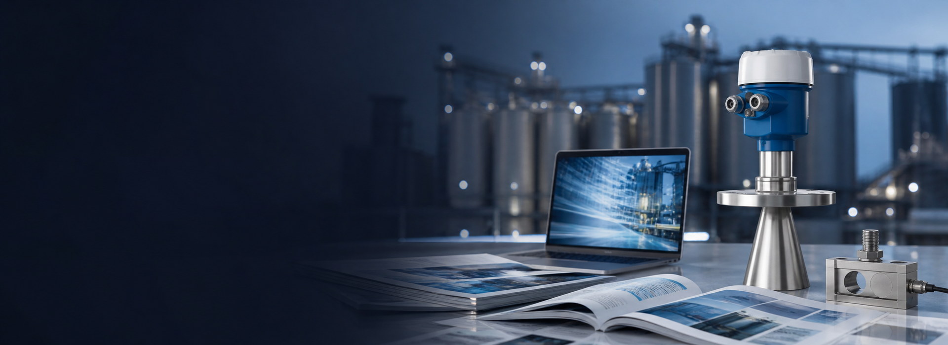
A river level warning is only useful if the number refers to a known location, elevation reference and measurement time. A fresh-looking dashboard can otherwise display an old value, compare stations on different datums or interpret a lost signal as a stable river. River level monitoring for early warning therefore needs a documented data chain as well as a suitable sensor.
River Level Monitoring Starts with a Surveyed Datum
Distinguish three quantities: distance from the radar to the surface, water-surface elevation relative to a datum, and water depth above a local bed reference. They are not interchangeable. A flood threshold expressed as an elevation cannot be compared directly with raw radar distance or an unreferenced depth reading.
For a vertical measurement, water-surface elevation equals the surveyed radar reference elevation minus measured distance. As an illustrative calculation, a reference elevation of 102.400 m and a distance of 3.250 m give a water-surface elevation of 99.150 m. These are example values, not a recommended mounting height or warning threshold.
Keep the benchmark description, survey date, instrument reference point and any offset in the station record. If a bridge bracket is moved or repaired, re-establish the reference before returning the station to warning service. When comparing several stations, confirm that their elevations use the same datum or a documented conversion. Similar-looking numbers alone do not establish comparability.
Track the Measurement Time, Not Just the Arrival Time
Rate of rise is a level difference divided by elapsed measurement time. A rise of 0.12 m over ten minutes corresponds to 0.72 m/h. This arithmetic example illustrates units only; it is not an alarm setting. Acceptable thresholds depend on the catchment, exposed assets, available response time and the responsible authority's warning procedure.
A delayed communications packet may arrive seconds after the previous one even though the observations were taken minutes apart. Calculating a rise rate from packet arrival times can then produce a false spike. Preserve measurement timestamps where the acquisition system supports them, synchronise station clocks and distinguish time of observation from time of reception.
Store data quality alongside the value. At minimum, the warning application should be able to distinguish a current valid observation, a stale observation, a missing observation and a rejected reading. Do not calculate a reassuring zero rise rate from two repeats of the last valid value after the sensor has stopped updating.
| Reading | Risk | Required handling |
|---|---|---|
| Valid rise | The water is rising, but a single short interval may exaggerate a wave or disturbance. | Apply the approved time window and persistence rule without suppressing a genuine rapid event. |
| Stale value | The displayed level appears stable although no fresh observation is available. | Show its age and trigger the defined data-loss response. |
| Abrupt step | A reference change, bracket movement or false echo may resemble a sudden flood rise. | Check diagnostics and an independent observation; retain the raw event record. |
| Recovered link | Delayed historical observations can be mistaken for current conditions. | Process records in measurement-time order and label historical data correctly. |
Select the Sensor and Station Separately
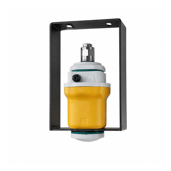
The METRAVON MV-RD12T-120G is a 120 GHz non-contact water level instrument. The MV-RD12T provides an 80 GHz alternative. RS485 Modbus RTU configurations can connect to compatible station acquisition equipment. Neither model name, by itself, specifies a complete flood-warning system.
Check distance to low water, clearance at the highest design level, obstructions, mounting rigidity and maintenance access against the selected instrument configuration. A bridge, retaining wall or vegetation can enter the sensing area as water levels change. The antenna must remain appropriately oriented and outside conditions for which the installation has not been designed.
Specify the RTU or data logger, power system, communications equipment, surge protection and cabinet as separate parts of the station scope. Battery autonomy requires a load budget and local charging assumptions; it cannot be inferred from the radar frequency. Confirm which device stores observations during a network outage and how retained records are recovered.
Agree What Happens After a Threshold Is Crossed
The monitoring supplier should receive approved alert levels and escalation rules, not invent them from a catalogue. Record who receives an alert, how it is acknowledged, when an unacknowledged alert escalates and what happens when the station cannot provide reliable data. Commissioning must test that route, not stop at seeing an alarm icon.
Independent checks can include a surveyed staff gauge, another appropriate measurement method or observations from a separately assessed station. Two sensors on one unstable bracket, powered from one failed supply, do not remove those common failure modes. Choose redundancy according to the consequence of losing the observation, rather than simply duplicating instruments.
After flooding or site works, inspect the mount, benchmark, cable route and channel conditions. A water-level sensor does not automatically measure discharge. If a flow estimate is required, use a valid site-specific relationship or a separately validated flow measurement method; the surface-velocity radar validation guide explains why level and velocity need separate checks.
Station Acceptance Questions
Q1. Can one fixed rise-rate threshold be used across all sites?
It should not be transferred without hydrological and operational review. Sites differ in channel geometry, response time, upstream controls and exposed assets. A threshold useful at one location may be late or overly sensitive elsewhere. Have the responsible project authority approve both the threshold and the action it initiates.
Q2. What evidence should be collected before handover?
Keep the datum and survey record, independent level comparisons, installed configuration, clock checks and simulated data-loss results. Include evidence that alerts reach the intended recipients and that acknowledgement or escalation works. Document test conditions and exceptions so a later maintenance team can repeat the relevant checks.
Q3. What information helps METRAVON assess a proposed location?
Provide a site section, low and high water elevations, photographs toward the measurement area, available mounting positions and the required station interface. State whether the requirement is water level only or an entire warning station. Include the intended power and communication arrangements so responsibility for each component is clear.
Summary
Reliable warning data needs a stable datum, trustworthy timestamps and an explicit response to missing observations. Sensor selection is one part of that work. Send the station layout for a water level instrument review, and keep threshold approval and emergency-response responsibilities with the qualified project team.