Chinese
 Spanish
 Russian
 Portuguese
 French
 German
 Indonesian
 Thai
 Vietnamese
 Arabic
 Italian
 Turkish
 Polish
 Japanese


A radar water level datum determines what zero means. A negative water-level value can be correct when the surface is below that reference, even though the radar's measured distance is positive. Before adding an offset to remove a minus sign, establish whether the display is intended to show surface elevation, stage relative to a local zero, or water depth above the bed.
Follow the calculation from antenna to display
Let H be the surveyed height of the antenna reference plane above the chosen zero and d the vertical radar distance to the water. The reported stage is H minus d. If the surface is below that zero, d exceeds H and the result is negative. This does not imply a negative physical distance.
For illustration, a reference height of 5.00 m and measured distance of 5.30 m give a stage of -0.30 m. If the bed is at -1.20 m on the same datum, water depth at that bed location is 0.90 m. These are assumed survey values, not specifications for the METRAVON MV-RD12T.
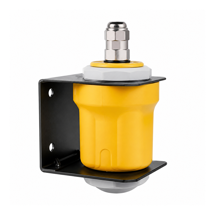
Keep one radar water level datum across the station
| Quantity | Meaning and required reference |
|---|---|
| Distance | Separation between the antenna reference plane and the detected surface. |
| Stage | Surface height relative to the declared local zero, which may be positive or negative. |
| Elevation | Surface position in the surveyed elevation system used by the project. |
| Depth | Surface position minus bed elevation at a defined location; the radar does not measure the bed. |
Document the conversion in the instrument, RTU and monitoring platform. Avoid applying the same reference correction twice. The display label should identify the quantity and unit rather than showing an unexplained "level" beside a number. Alarm thresholds must use the same reference as the value they evaluate.
Check low water without forcing the result to zero
Compare a simultaneous staff-gauge observation with the radar stage using the gauge's documented zero. If they disagree by a fixed amount, check the survey and conversion before adjusting the sensor. Moving the bracket changes H; changing the bed after dredging changes depth, but does not by itself change surface elevation.
MV-RD12T is an above-water radar with electrical and range options that require selection. A configured lower endpoint or software clamp may hide legitimate negative stage values. Review the complete receiving chain to distinguish an actual measuring limit from a display range that was chosen incorrectly.
Reference questions
Q1. Should every monitoring station use the river bed as zero?
Not necessarily. A stable surveyed reference supports comparisons over time, while the bed can move. If depth is required, maintain separate bed information and state where it was measured.
Q2. Can a negative value trigger the low-water alarm?
Yes, if the system supports that signed value and the threshold is defined on the same datum. Test the conversion and alarm with authorised simulated inputs before relying on the operational display.
Q3. Can two stations compare values without sharing a datum?
They can compare local changes, but absolute surface elevations require a known relationship between their references. A larger local stage at one station does not necessarily mean its water surface is at a higher elevation.
Summary
Verify the meaning of zero before correcting a negative reading. Send the reference survey, desired displayed quantity and RTU calculation when requesting MV-RD12T configuration guidance.