Chinese
 Spanish
 Russian
 Portuguese
 French
 German
 Indonesian
 Thai
 Vietnamese
 Arabic
 Italian
 Turkish
 Polish
 Japanese

Radar water level interference may appear when floating debris collects beneath a bridge or around a monitoring station. A sudden shorter distance can represent a different reflecting surface rather than a true rise in the water. Identify what occupies the measurement path before adding a false-echo mask or changing the level offset.
Compare the signal event with a safe surface observation
Record when the distance changed and whether debris, vegetation or another object was visible at that time. Use observations made from approved safe access; do not enter floodwater or work beneath an unsafe structure to obtain a reference. Where a camera is used, verify its clock against the logger before comparing events.
A floating mat may move with the water, so its distance can look like a plausible level trend. A fixed beam or bracket behaves differently. Neither a moving trend nor a strong echo by itself proves that the radar is following open water.
Classify radar water level interference before changing settings
| Observation | Next check |
|---|---|
| Brief jump | Look for a passing object or transient obstruction at the same timestamp. |
| New plateau | Inspect for accumulated debris and compare with an independent surface observation. |
| Fixed distance | Check known structural features and whether the reported value is fresh. |
| After clearance | Recompare the water reading and preserve evidence of any changed configuration. |
These observations guide investigation; they are not unique fault signatures. Preserve distance, status and diagnostic records where the supplied instrument makes them available. A cropped trend with no process or surface context rarely distinguishes an obstruction from a measurement or communication problem.
Review the monitoring position over changing water levels
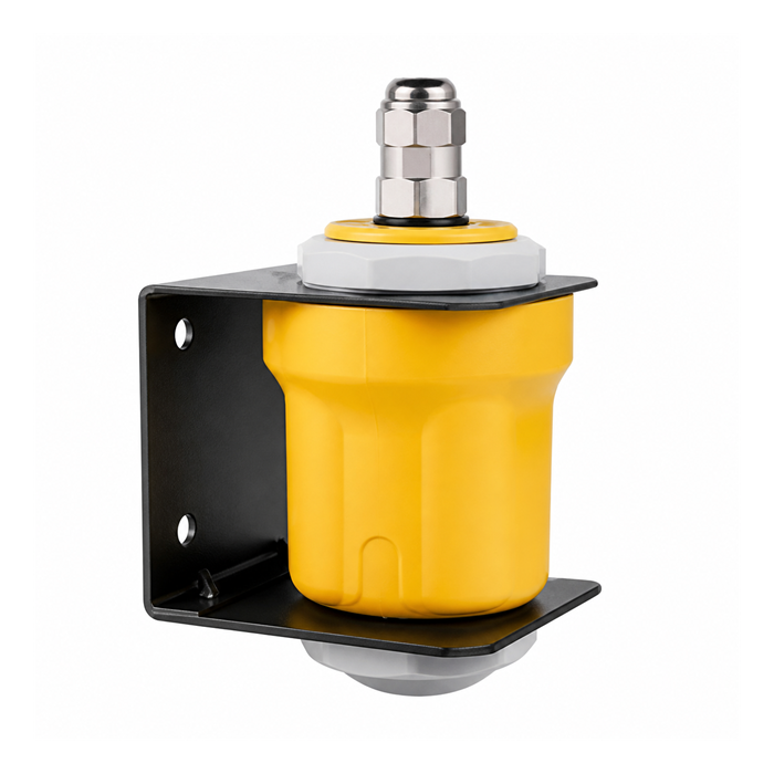
The METRAVON MV-RD12T is intended to view water from above. Plot the beam path relative to bridge edges, piers and locations where debris tends to collect. A location that is clear at low water may become obstructed during a rise. Mounting changes need a new datum check as well as an obstruction review.
Do not teach a temporary debris return as though it were a permanent tank structure. An exclusion that hides the unwanted return may also hide a genuine water surface at that distance later. Any masking procedure must follow the instrument instructions and be checked against the complete required measuring interval.
Questions after an obstruction event
Q1. Should the last value remain on the dashboard while debris is present?
The display may retain it for context, but must identify it as stale or invalid if a fresh water measurement is not established. A held number should not be mistaken for confirmation that the water is unchanged.
Q2. Does moving the instrument sideways always solve the problem?
No. It may introduce another structural reflection or a less representative hydraulic location. Review the new path, support, datum and maintenance access before moving the station.
Summary
Separate a changed target from a changed water level before modifying echo settings. Send timestamped readings, safe site observations and the bridge section for an MV-RD12T interference review.